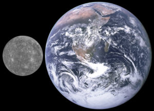
Mercury is one of the least explored planets in the Solar System. It’s the smallest one, with a diameter of 4,879 km (3,032 mi), whereas, in comparison, Earth has a diameter of 12,742 km (7,918 mi), and it’s the closest planet to the Sun.
It orbits the sun in 88 Earth days, which is faster than any other planet, and has an average distance of 57.9 million km from the sun. Mercury has the most eccentric orbit of all the planets, namely, an elliptical orbit with its closest point, called perihelion, at 46 million km, and its furthest point, called aphelion, at 69.8 million km from the Sun.
Mercury’s surface temperatures range from a whopping 427 °C (800 °F, 700 K) during perihelion to -173 °C (-280 °F, 100 K) in darkness at the most extreme places, and varies diurnally more than any other planet.
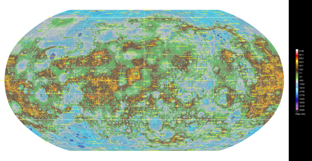
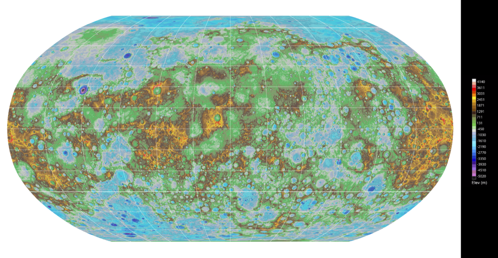
Quite recently, USGS scientists created the first highly detailed topographical map of Mercury’s entire surface. They created cutting-edge, sophisticated new software applications and procedures to help process and identify Mercury’s landforms, or features in more than 100,000 MESSENGER spacecraft images, which were then accurately matched together to create the digital map you can find below.
MESSENGER was a NASA robotic spacecraft that orbited Mercury between 2011 and 2015. It entered Mercury’s orbit on 18 March 2011, becoming the first spacecraft to do so, and before its launch, little was known about the planet. MESSENGER successfully completed its primary mission in 2012, and after two mission extensions, it used the last of its manoeuvring propellant and deorbited as planned, impacting the surface of Mercury on 30 April 2015.
Full topographic map of Mercury with labelled features.
Full topographic map of Mercury.
First Global Topographic Map of Mercury

